WashU’s Bear Cubs Running Team gets kids with disabilities in the game
Now in its ninth year, the Bear Cubs Running Team serves children with physical and developmental disabilities and their siblings. Every Sunday, 100 “cubs” and their coaches meet at WashU for stretching, games and socializing. The season will end April 21 with a big race on the track at Francis Olympic Field.


From the experts
Find an expert
Perspectives
‘Unfreezing the frame: The art of the embodied experience’
Art historian Nathaniel B. Jones, in Arts & Sciences, explores the artwork Laocoon at the Vatican Museums and the different perspectives that viewers may gain when visiting a sculpture in person rather than through a two-dimensional image or written text.
Passover: The festival of freedom and the ambivalence of exile
Nancy E. Berg, professor of Hebrew language and literature
Why luck plays such a big role in hockey
In my new book “The Random Factor,” I explain why of the five major U.S. team sports – basketball, football, baseball, hockey and soccer – the one with the greatest amount of luck involved in wins and losses is hockey, writes Mark Rank.
Videos
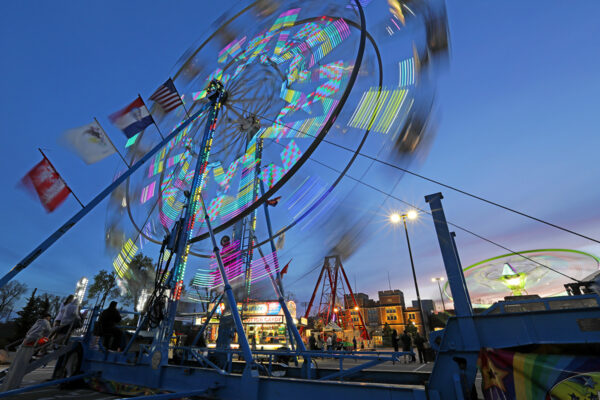
WashU balloon goes over big
For the first time, WashU sponsored a hot air balloon in the Great Forest Park Balloon Race, an annual hot air balloon festival held in Forest Park. “Time Traveler” was among the dozens of entrants that delighted the STL community Sept. 15-16, 2023.
Bookshelf

Can’t we all just get along?
A new book from the School of Law’s John Inazu offers a path for disagreeing productively and living joyfully in our divided society.